CARIBBEAN GEOSPATIAL SERVICES
Geophysics
Caribbean Geospatial offers comprehensive surveying solutions tailored to meet the diverse needs of our clients, guaranteeing the most precise, efficient and versatile solution for every situation.
Geophysics Services
Geophysics Services
Magnetometer Surveys
Primarily utilized in mineral exploration, Caribbean Geospatial’s Magnetometer (MAG) services also apply to various industries beyond just exploration. In specific instances, MAG can detect ferrous materials in underground infrastructure, enhancing efficiency and reducing costs for construction and maintenance projects.
With over 300,000 hectares surveyed and over 60 million data points collected, Caribbean Geospatial is the premier data collection company east of Ontario. From uncovering significant finds in Central Newfoundland’s gold belt to identifying unexploded ordinance, industry professionals rely on Caribbean Geospatial for safety and professionalism.


VLF Surveys
Caribbean Geospatial offers Very Low Frequency (VLF) electromagnetic surveys, a critical subsurface exploration and mapping technique. This service supports various applications, including mineral exploration and geotechnical investigations.
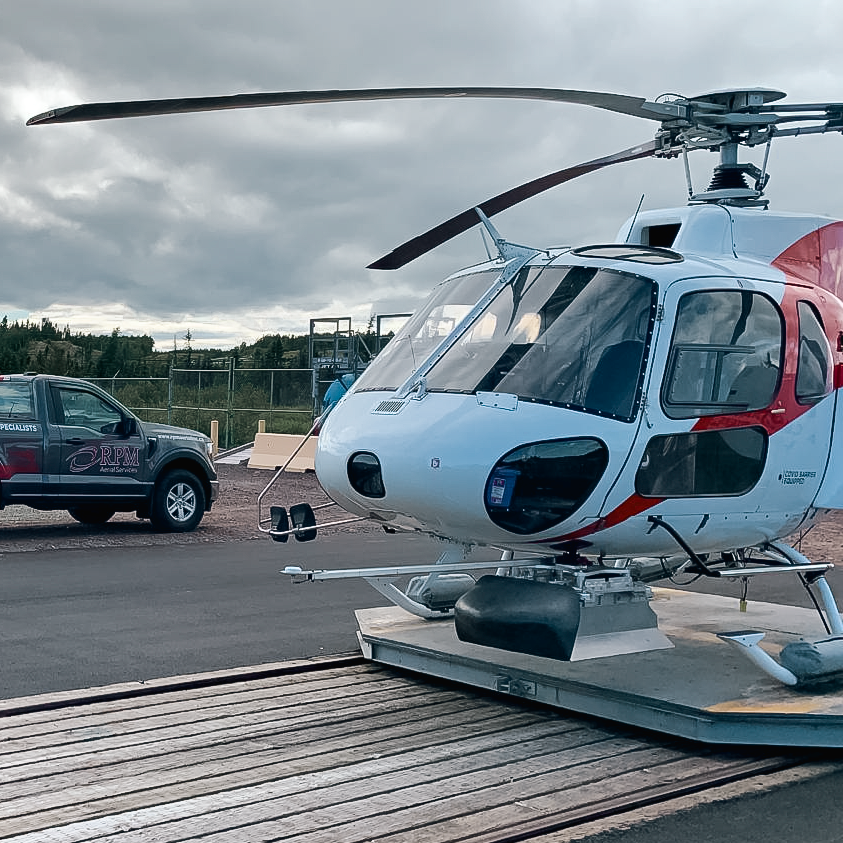
Esteemed by veteran prospectors, Caribbean Geospatial, in partnership with Axiom Group, provides this essential service to the mineral exploration sector. Additionally, Caribbean Geospatial offers both MAG and VLF services via helicopter or drone.
Ground Penetrating Radar
Ground Penetrating Radar (GPR) uses radar pulses to image the subsurface, which helps detect geological features, conduct archaeological surveys, and, in certain instances, inspect concrete.
GPR emits high-frequency electromagnetic pulses and records the reflections to create subsurface images, aiding various sectors in identifying underground objects or features.
In collaboration with Axiom Group, Caribbean Geospatial extends this service to any entity or municipality that is interested.

