CARIBBEAN GEOSPATIAL SERVICES
Other Services
Caribbean Geospatial offers comprehensive surveying solutions tailored to meet the diverse needs of our clients, guaranteeing the most precise, efficient and versatile solution for every situation.
Water Leak Detection
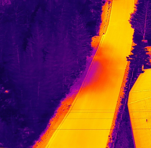
Caribbean Geospatial utilizes fully radiometric & calibrated Infrared cameras on aerial platforms to detect water leaks in any municipality. Tackling every project methodically and systematically, our team can help locate water leaks efficiently, saving your town significant money as well as costly treated water – a precious commodity.


Buried Infrastructure & Ground Anomaly Detection
Caribbean Geospatial utilizes a variety of technologies and methods to detect and locate buried infrastructure and identify ground anomalies such as soil disturbances or underground cavities. Some of these technologies include Ground Penetrating Radar (GPR), Magnetometer, Very Low Frequency (VLF) Systems, and other cutting-edge technologies.
By adding position referencing to the subsurface information, our solutions help to increase reliability and productivity in construction projects, providing accurate information for GIS and Mapping, as well as Project Planning and Preparedness.
Contact Caribbean Geospatial today to see what solution is right for your project.
Offshore Operations
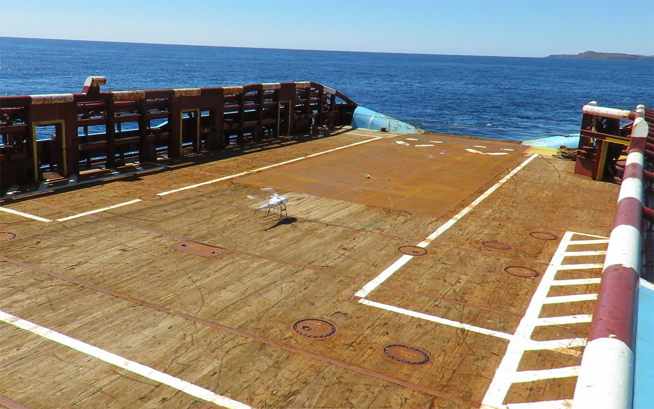
Working in offshore environments can be challenging enough even when conducting generalized low-risk work. However, performing operations in and around oil and gas platforms or off moving vessels presents a unique challenge. At Caribbean Geospatial, our team is fully trained and holds all required certificates, including CAPP Medical, Basic Survival Training with HUET-HUEBA and H2S Alive.
Caribbean Geospatial also owns & operates high-capacity systems proven to perform in the most challenging environments and can perform many tasks including:
- General RGB inspections (ex. Flair Stacks)
- Infrared inspections
- Dimensional scanning
- Aerial deployment of GPS based Oil Spill tracking systems
- RPAS/Drone-based rig-to-rig / rig-to-shore package delivery (up to 30kg)
- Unique customized work, to meet specialized needs
- Emergency Services available

Custom Integration
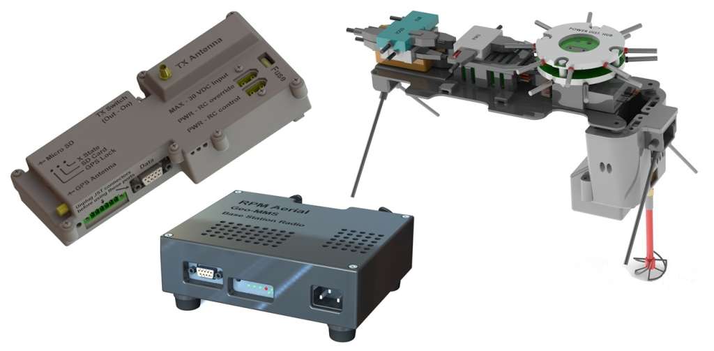
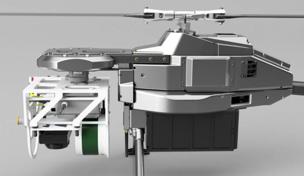
As a leading service provider and amassing years of technology development and integration experience, Caribbean Geospatial is keen to discover and integrate exciting new technologies to enhance the day-to-day operations of any industry.
With nearly twenty years experience in the development and commercialization of technologies in multiple industry sectors, the team at Caribbean Geospatial are dedicated to the integration of technologies through forward thinking; as well as offer superior services and capabilities.
We have the ability and desire to bring your ideas to life in the air or terrestrially. Contact us to discuss how we can assist with your requirements.


Specialized Operations
Caribbean Geospatial can assist your organization utilizing its arsenal of technology across a vast array of industries. We have worked with both federal and regional law enforcement agencies in crime/accident scene investigation, video footage collection for film and television production companies, as well as marketing/tourism video capture for municipalities and provincial governments. At Caribbean Geospatial we don’t just think out of the box, we can bring your ideas to fruition from any perspective you choose.
