CARIBBEAN GEOSPATIAL SERVICES
Geophysics
Caribbean Geospatial offers comprehensive surveying solutions tailored to meet the diverse needs of our clients, guaranteeing the most precise, efficient and versatile solution for every situation.
Geophysics Services
Geophysics Services
Magnetometer Surveys
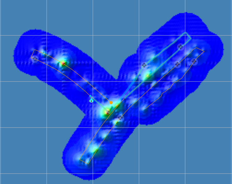
Magnetometer surveys (MAG) are highly specialized geophysical surveys that measure the total intensity of the Earth’s magnetic field. They are widely used in mineral exploration to get a detailed look into geological subsurface structures to advance mineral exploration activities.
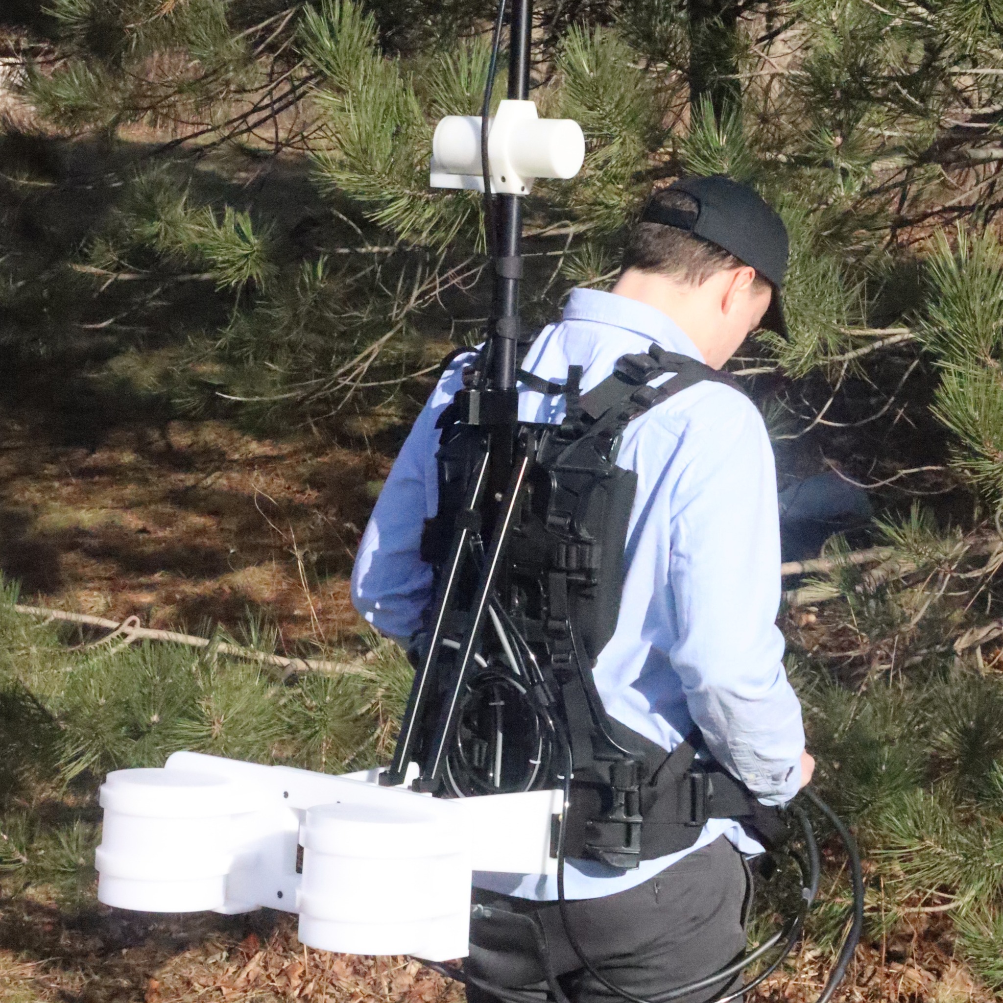
Caribbean Geospatial experienced team can offer a mix of MAG services to meet clients needs regarding budgets, time constraints, data density or data quality, including offering EXTREME MAG surveys utilizing a combination of advanced technologies and techniques.
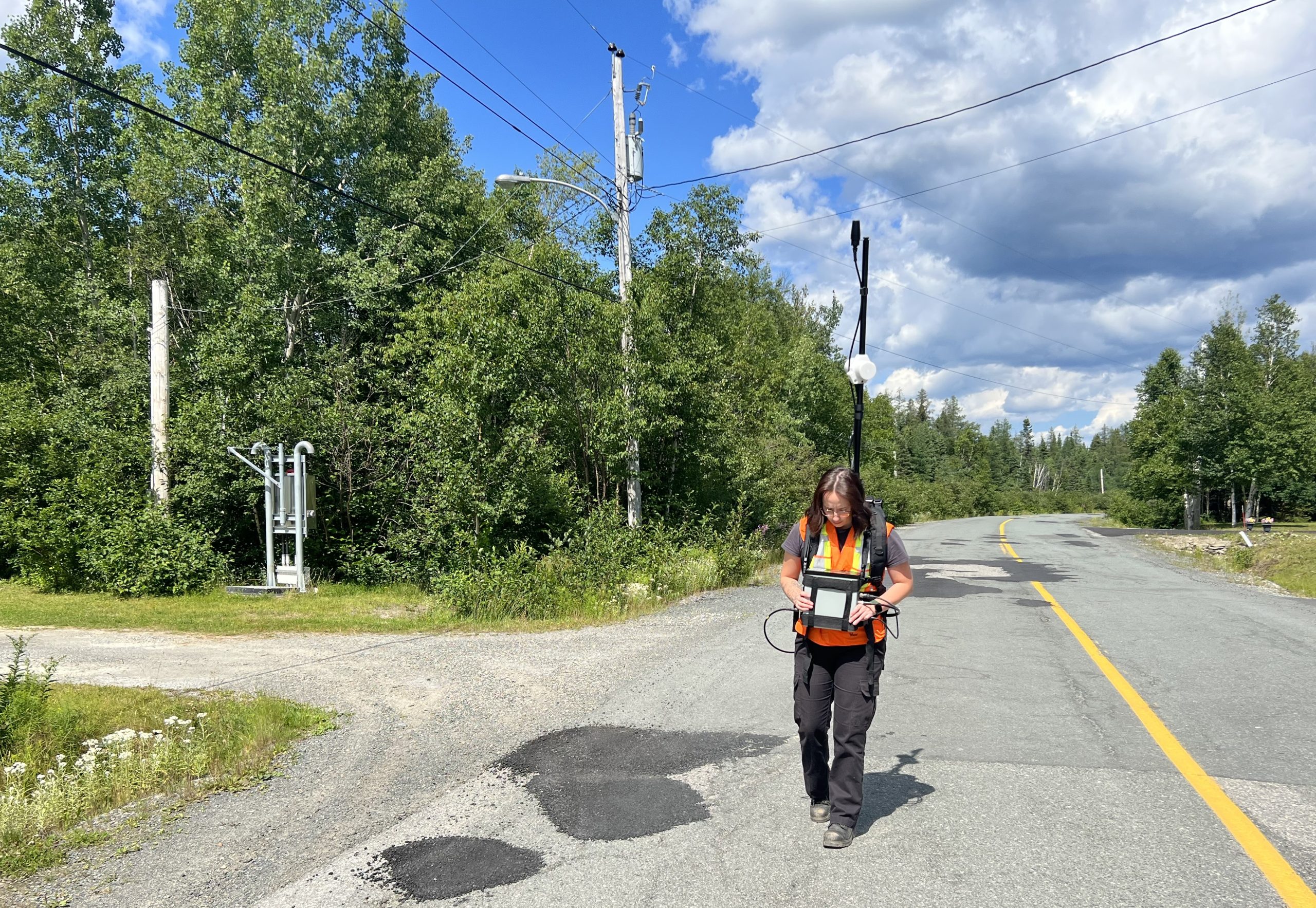
Caribbean Geospatial MAG services also apply to various industries beyond just mineral exploration. In specific instances, MAG can detect ferrous materials in underground infrastructure, enhancing efficiency and reducing costs for construction and maintenance projects as well as for environmental applications for land remediation and cleanup activities.


VLF Surveys
Caribbean Geospatial offers Very Low Frequency (VLF) electromagnetic surveys, a critical subsurface exploration and mapping system often used to support mineral exploration and geotechnical investigations.
VLF is an electromagnetic method that relies on globally transmitted currents inducing secondary responses in conductive geologic deposits/structures. These responses can also be used to identify subsurface water bodies and conductive infrastructure. Another use is for contaminant mapping, where contaminants often have lower resistivity than surrounding fluids.
Please reach out today to see how our VLF services can help your organization.

