CARIBBEAN GEOSPATIAL SERVICES
Geospatial
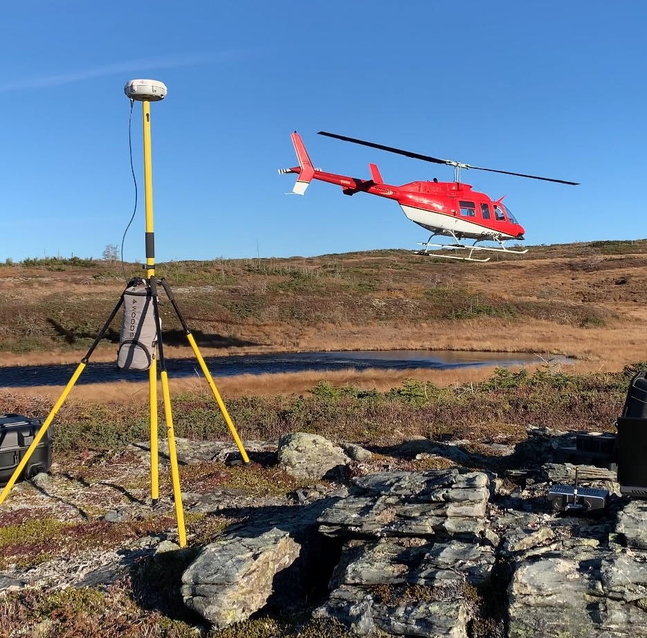
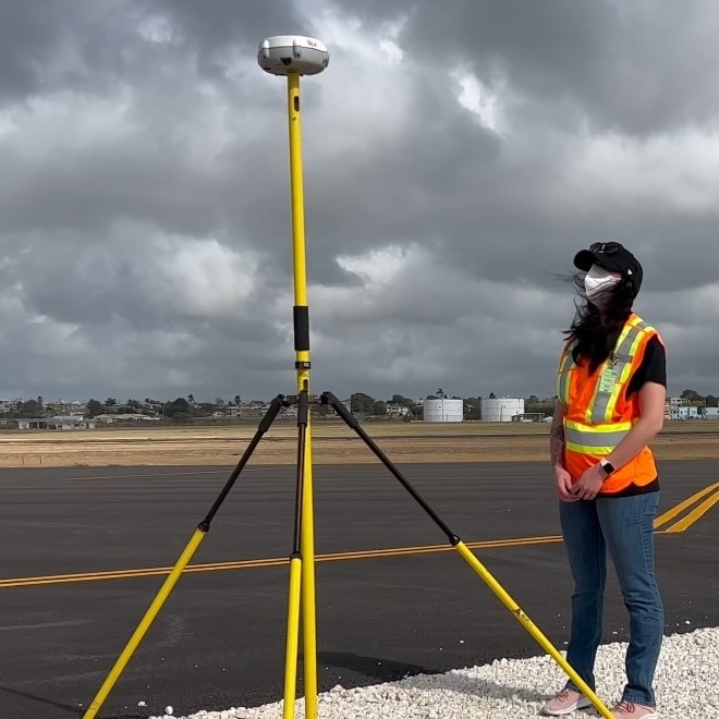
Caribbean Geospatial offers comprehensive surveying solutions tailored to meet the diverse needs of our clients, guaranteeing the most precise, efficient and versatile solution for every situation.
Topographic Surveys
Caribbean Geospatial works with architects, engineers, and contractors across a wide variety of sectors. From large-scale construction and engineering projects to land development and transportation infrastructure mapping, Caribbean Geospatial is the company of choice for topographical surveys.
Normally completed at the start of a project, a topographical survey typically includes measurements of features/terrain including structures such as roads, buildings, communications and utility towers. Caribbean Geospatial will also gather data on natural elements such as trees, rivers, streams, and ditches in the area being surveyed. Caribbean Geospatial can also create a “bare earth model” to show you exactly what terrain lies underneath canopy and vegetation.
A topographic survey is often required for design purposes, including new construction and improvements and upgrades for industrial, commercial, and residential applications. A well-defined topographic plan will help guide architects, engineers, and contractors in the planning and construction phases.
When a project has moved past the preliminary stage, Caribbean Geospatial can introduce our Land Surveying team to provide accurate and reliable data. These types of surveys can be used for a variety of purposes including grading and other design, volume calculations, determining parcel boundaries, or locating existing buildings and other critical features on the subject parcel.


Dimensional Surveying
Caribbean Geospatial offers a range of dimensional surveying services, including 3D laser scanning, and as-built modeling. These services are valuable for many industries including construction, engineering, and architecture.
This technology has been around for decades and is generally known as the science whereby three-dimensional spaces are accurately measured to determine the area between points, creating digitally mapped distances and angles.
Dimensional control survey is very well suited for industrial measurement, 3D capture, replacement pipe-work, topographical surveys, mining surveys, structural steel surveys, drill rig alignments, structural monitoring, and fabrication surveys.
Mobile Mapping
Caribbean Geospatial utilizes a variety of collection methods to provide you with the highest quality geospatial data in the industry. From LiDAR surveys to true mobile mapping, Caribbean Geospatial can utilize its vehicle-based collection system to travel roadways at highway speeds. We also thrive in GPS denied environments, employing our hand-held/backpackable system to collect robust data between tall buildings and even underground mining operations. Caribbean Geospatial utilizes the most advanced technology in the industry, allowing for the efficient capture of geographic information such as roads, buildings, and landscapes, and can be used for applications like navigation, urban planning, and asset management. Mobile mapping has a wide range of uses, from aiding in disaster response to supporting infrastructure development.


3D City Modeling
Looking to capture every nuance of your municipality and integrate asset management into the picture? Caribbean Geospatial has you covered. Let us collect highly detailed LiDAR data to allow your team to manage your municipality from the comfort of their desks. Caribbean Geospatial has a highly skilled team of data processors who will class out any and all infrastructure you require such as fire hydrants, curbs, and culverts to name just a few.
Caribbean works closely not only with municipalities, but also utilities to scan substations and switchyards. Using the latest technology, we can also employ our hand-held/backpackable system to provide you with a digital twin of interior spaces that are GPS/GNS denied, and still provide you with a robust data set with millimeter accuracy.

Measured Building Surveys
Measured building surveys are an accurate depiction of a building which illustrates all structural elements and architectural features. A measured building survey can show several different elements:
- External elevations show the outside façade of a building. All details are picked up and measured. The details can consist of window positions, guttering and waste stacks to gargoyles and ornate stained glass window roses.
- Internal elevations can show the precise measurement of doors, walls, beams, and windows down to sanitary ware and electrical sockets.
- A section is an internal split through a room with the specific measurements of anything in that section. This would include the depth and width of a beam, window placements or perhaps how one floor of a building sits above another or how it sits under the structure
- Floor plans are precisely measured plans of any floor in any building. When a building has been added to continuously over time, the floors are often not level. A floor plan can show any changes in the floor level so that architects and designers can illustrate how they may want to level them out for a smoother flow through the building.
- A scanned survey will deliver a 3D point cloud model. Point cloud models show millions of measured points both externally and internally. These can be probed by architects, structural engineers, and designers. A 3D model can provide a walkthrough of the building. Architects can then see the ‘sections’ for themselves as they go through them
As-Built Surveys
This type of survey is used before everything in a building is “closed-up”, showing all elements including electrical, HVAC, and all other hidden elements that are key to the upkeep and maintenance of any building.
As-built surveys are performed to document the location, dimensions, and configurations of constructed elements, ensuring that they match the design and specifications. This survey is typically conducted after construction is completed or at various stages of a project to verify that the work is in accordance with the approved plans.
Photogrammetry Services
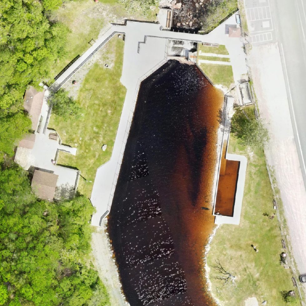
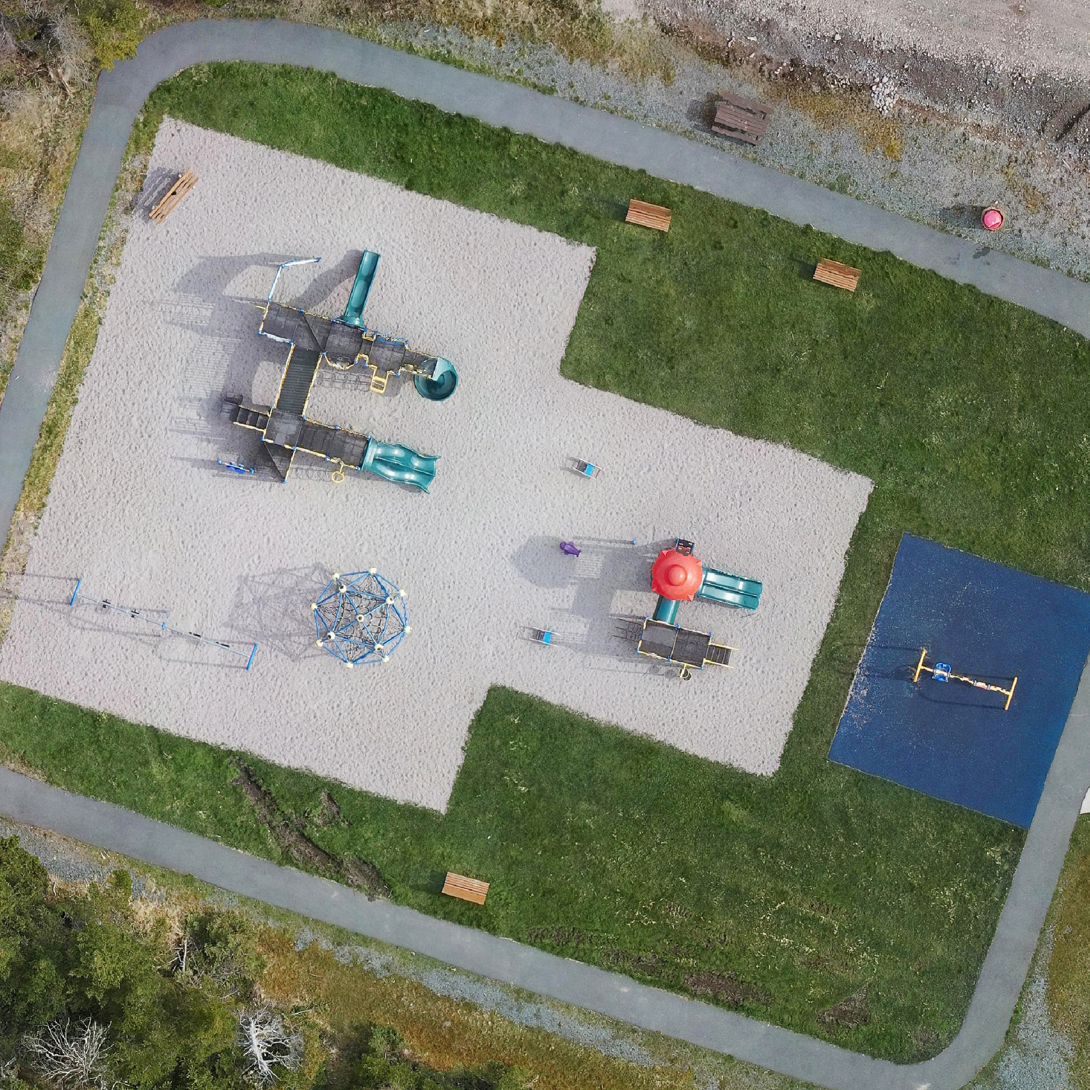
Caribbean Geospatial Services can provide high detailed orthomosaic maps to give you a normalized top-down view of the earth below. We can capture photogrammetry and LiDAR simultaneously and colourize the LiDAR point-cloud by using data (colour) from the captured images. Photogrammetry is perfect for municipal assessments and coastal mapping, allowing for increased accuracy when integrated with our LiDAR surveys.
These orthomosaic maps often consist of thousands of smaller aerial photos and provide extremely valuable data for environmental and agriculture monitoring, disaster preparation and emergency response, engineering and construction (planning, progress monitoring, and as-built surveys), as well as municipal planning and monitoring.

Vegetation Encroachment Surveys
With increasing blackouts due to vegetation encroachments on transmission line rights-of-way, it is imperative for utilities to review their vegetation management practices to avoid incidents of un-intended encroachments. Caribbean Geospatial can survey transmission corridors on an as-needed basis by RPAS (drone), all-terrain vehicle, or both.
The geo-referenced data of assets and lands outlining where transmission lines pass is essential for the improvement of transmission line maintenance. LiDAR and photogrammetry are now available for surveillance applications. These tools, because of their accuracy in spatial resolution, can be applied to track not only invasions, but also monitor the vegetation surrounding the transmission lines rights-of-way. Via its partner company, Axiom Group, Caribbean Geospatial can utilize multispectral images to recover 3D-digital elevation model (DEM) of transmission lines rights-of-way to identify dangerous vegetation that can strike the power lines to cause blackouts.
- Powerline Clearance Surveys
- Obstacle Limitation Surface Surveys
- Underground Infrastructure Mapping
Power Line Clearance Surveys
Caribbean Geospatial can assess the clearance of power lines from surrounding vegetation and structures. These surveys are crucial for ensuring the safety and reliability of power distribution systems. The data collected by Caribbean Geospatial provides valuable insight when identifying potential hazards and planning maintenance activities to prevent outages and electrical hazards. Caribbean Geospatial can efficiently cover large areas and provide detailed information to utility companies and regulatory authorities.
Aerial Obstacle Limitation Surveys
Often abbreviated as AOL surveys, Caribbean Geospatial conducts Aerial Obstacle Limitation Surveys to assess the potential risk to aviation within designated airspace. We employ the use of photogrammetry, LiDAR, and other remote sensing technologies to identify and map obstacles such as buildings, towers, trees, and terrain features that could pose a hazard to air traffic. AOL surveys play a crucial role in the planning and development of airspaces, airports, and flight paths to ensure that aviation operations can be conducted safely and efficiently. With clients spanning from the Caribbean to Canada, Caribbean Geospatial’s resources and experience can make your next project a breeze.
Underground Mapping
Caribbean Geospatial can map your GPS/GNS denied environments utilizing mapping (LiDAR) technologies. This is perfect for underground mines to manage mine state, critical infrastructure such as pumps, electrical systems, and of course ventilation. Your staff will be able to access important data via the comfort of their desk, mitigating the safety risk of having your people inspecting underground assets. Let Caribbean Geospatial capture your data with accuracy and laser precision, enabling you to run your operation smoothly and efficiently.
